GEMMA lab.
GEMMA (Geo-Environmental Measuring and Monitoring from multiple plAtforms) is a scientific and technological infrastructure based on state-of-the-art instrumentation that is able to monitor the Earth as a whole, from the atmosphere to the Earth's surface, to the oceans and the Earth's interior.
GEMMA follows research-lines within different aspects of the Earth system in all its components (Lithosphere, Hydrosphere, Atmosphere, Biosphere, Cryosphere) using innovative configurations of the instrumentation, and developing new techniques and methodologies for the analysis of geophysical data. Thanks to the fine tuning of the configuration of the different instrumentations, GEMMA can deploy a multi-scale monitoring system of anthropic and natural processes based on a wide spectra of instruments and sensors, for measuring geophysical parameters related to geo-enviromental processes.
GEMMA supports the research activities of DISAT staff and can provide consulting services for external public and private companies.
Nicola Piana Agostinetti (Scientific Director), email: nicola.pianaagostinetti@unimib.it
Sergio Cogliati (Technical Director), email: sergio.cogliati@unimib.it
Integrated multi-sensor imaging system to acquire surface reflectance and thermal maps for multidisciplinary applications (e.g., evapotranspiration, snow melting processes, inland and coastal water monitoring, landslides studies, geomorphic processes, and wildlife monitoring with thermal imaging).
PLATFORM
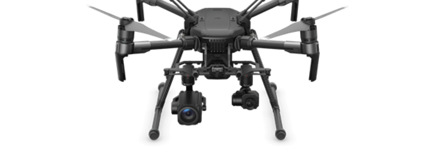
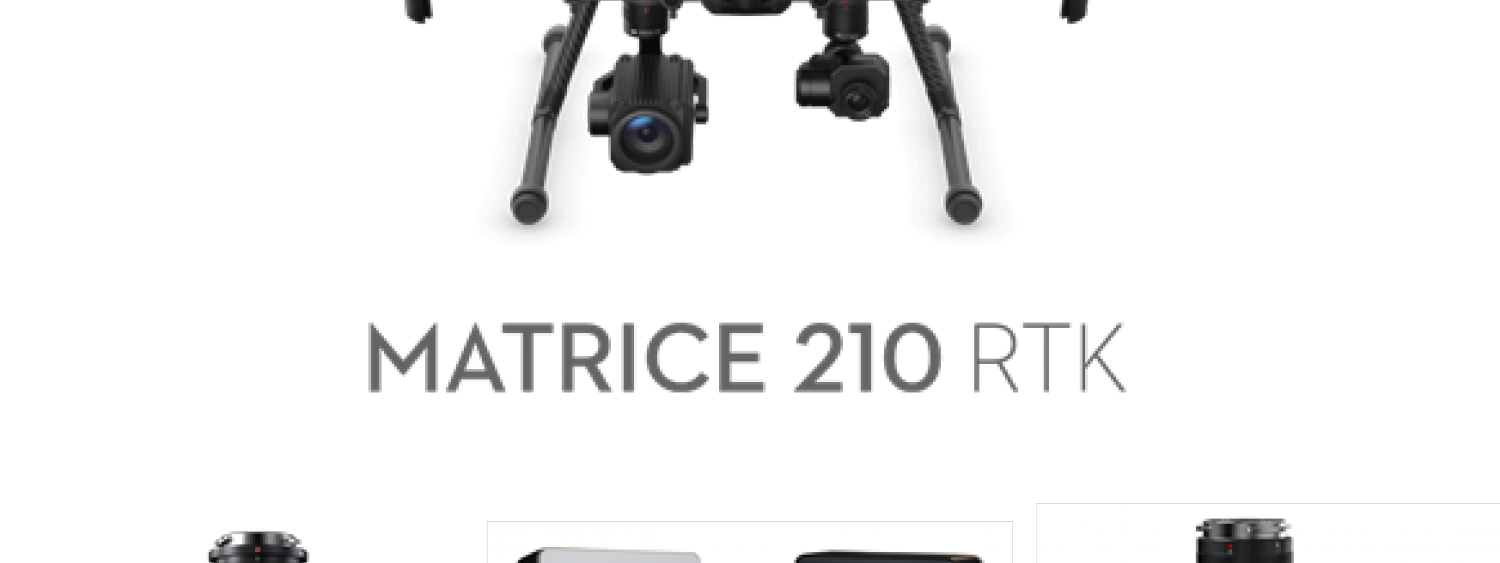
DJI Matrice 210 RTK
PAYLOAD
- VNIR multispectral camera with 9 spectral bands (MAIA S2)
- Radiometric thermal camera + compact RGB (DJI Zenmuse XT2)
- RGB high-resolution camera 20.8 MP (DJI Zenmuse X5S)
MEASUREMENTS
- at-sensor radiance
- surface spectral reflectance
- surface temperature
- high-resolution RGB imagery and surface digital model
GEOPHYSICAL PARAMETERS
- net radiation, surface thermal inertia, snow physical parameters, bio-optical parameters of inland and coastal waters, vegetation biophysical parameters, soil and rocks characteristics
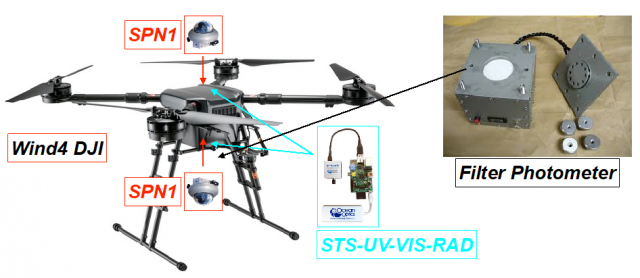
Integrated multi-sensor system to measure nanoparticle concentrations (<14nm), equivalent black carbon concentrations and multi-wavelength absorption coefficient. Measurements of global and diffuse radiation (both downwelling and upwelling) both broadband (300-3000nm) and multi-wavelength (350-1000nm). Measurements of atmospheric temperature, pressure and relative humidity. Target: 3D atmospheric maps of primary and secondary aerosol, equivalent black carbon and related atmospheric heating rate.
PLATFORM
DJI WIND4
PAYLOAD
- Particle sensor, Naneos Partetor2
- Black carbon and absorption coefficient (FAP-3, HAZE Instruments)
- 2 broadband radiometer (SPN1, DELTA-T)
- 2 Spectroradiometer (Ocean Optics, SVS-VIS-RAD)
- Meteorological sensor (T, p, RH, DELTA-T)
- Camera Zenmuse X3
MEASUREMENTS
- Nanoparticle concentration
- eBC atmospheric concentrations
- Atmospheric temperature, pressure and relative humidity
- Global, diffuse and reflected radiation (broadband and spectral)
- High resolution RGB images and surface digital model
GEOPHYSICAL PARAMETERS
- Atmospheric Heating Rate, primary and secondary aerosol concentration, black and brown carbon
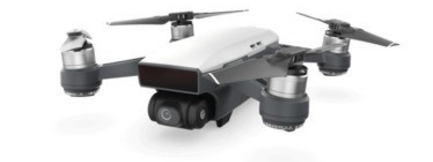
Very light system equipped with RGB sensor for photogrammetric survey aimed at 3D models building, dense clouds, digital surface/terrain models and Orthomosaics generation, for multidisciplinary applications (e.g., inland and coastal monitoring, landslides studies, structural analysis, study of geomorphic processes in the Alps, and in volcanic, fluvial and coastal areas).
PLATFORMS
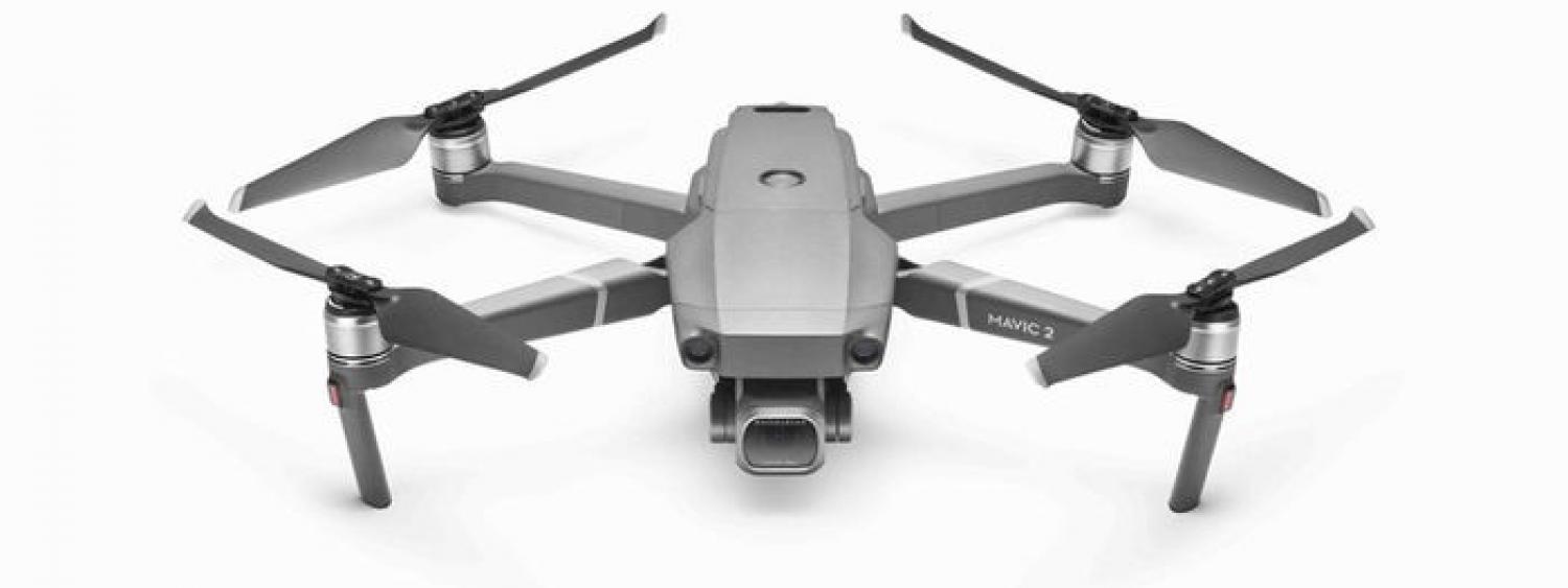
DJI Mavic 2 PRO and DJI Spark
PAYLOAD
- Fully stabilized 3-axis gimbal, RGB high-resolution camera 20 MP (CMOS 1” - Hasselblad L1D-20c). (Mavic 2 PRO)
- RGB high-resolution camera 12 MP (CMOS 1/2.3”), stabilized along 2-axis (pitch, roll). (Spark)
MEASUREMENTS
- high- (Mavic 2 PRO) and medium- (Spark) resolution RGB imagery, surface digital model, dense cloud and 3D model.
GEOPHYSICAL PARAMETERS
- Characterization of the geometry of surfaces and structures, RGB analysis of rock outcrops and soils, morphological analysis of the environment, digital terrain model with centimetric resolution, habitat mapping.
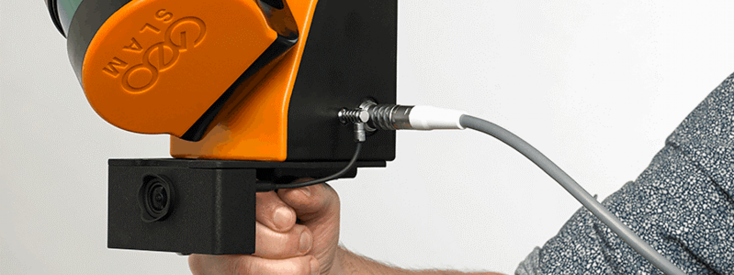
Handheld Laser scanner with LiDAR sensor for acquiring 3D point clouds and generating geo-referenced three-dimensional models through SLAM algorithm for multidisciplinary applications (e.g., slope stability, 3D geomorphic processes, forestry measurements, plant biomass calculations, urban planning, mapping underground environments)
PLATFORM
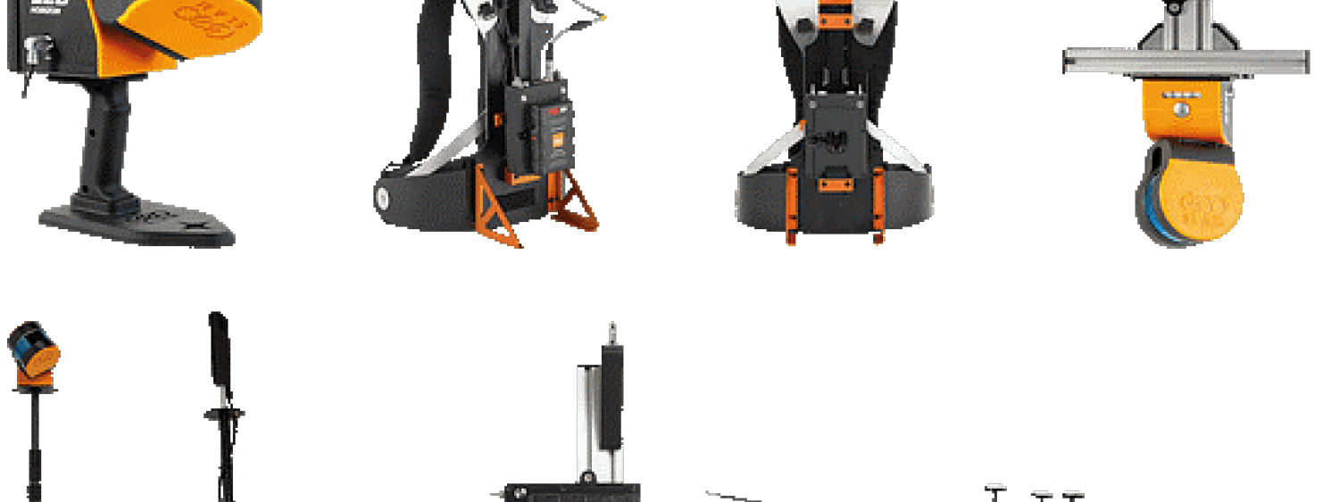
GeoSLAM ZEB Horizon
PAYLOAD
- Laser scanner ZEB Horizon (300k points/s, precision <3 cm, max distance 100 m) + camera ZEB-CAM (RGB)
- Data logger ZEB Horizon
- ZEB Horizon Pano with panoramic camera Ricoh Theta Z1 360°
MEASUREMENTS
- Aligned and coloured 3D point cloud
- Panoramic imagery sample points
GEOPHYSICAL PARAMETERS
- Digital surface model, digital terrain model, vegetation biophysical and structural parameters
R2Sonic 2022 is a high-performance multibeam echosounder system designed for underwater mapping and surveying. It uses advanced sonar technology to create detailed and accurate images of the seafloor and sub-bottom. The system is equipped with a high-density multibeam sonar that can generate up to 512 beams, providing high-resolution images of the seafloor with a wide coverage area. It also features a variable swath width capability, which allows users to adjust the beam angles for optimal coverage in different water depths and survey conditions.
R2Sonic 2022 is built with a rugged and compact design, making it suitable for various types of vessels and survey operations. It also has advanced features such as real-time water column imaging, automated data processing, and integrated data quality control tools. Overall, R2Sonic 2022 is a reliable and efficient tool for marine surveying and underwater mapping, offering high-quality data for a wide range of applications in industries such as oil and gas, renewable energy, and environmental monitoring.
PLATFORM
Multibeam Sonic 2022 - R2Sonic
INTEGRATED SYSTEMS
● IMU I2NS (Inertial Sensor with Integrated Navigation System)
● Valeport miniSVS (Sensor for measuring the speed of sound in the water)
● Applanix Trimble POS MV GNSS system
MEASUREMENTS
● Bathymetry: noting the speed of sound into the water, the measurement of the time elapsed between the emission of an acoustic wave and its subsequent recording after reflection from the seabed allows for the calculation of the depth of the seafloor. As a result, it is possible to obtain a Digital Terrain Model (DTM) representing the topography of the seafloor.
● Backscatter: the measurement of backscatter signal provides information about the composition of the substrate. A hard substrate will have a higher backscatter signal, while a mobile substrate will have a lower backscatter signal. This information is particularly useful in the field of habitat mapping.
● Water column data: acoustic waves can also be used to investigate the water column and its various characteristics in different areas, including gas emissions, biology (plankton), fish shoals (density), chemical-physical parameters of the water, and physical processes such as internal waves.
TECHINCAL PARAMETERS
● Shallow-water applications, with a maximum depth rating of 200 m
● Operating frequency range: 200 kHz to 400 kHz
● Swath coverage: up to 180° (it depends on the configuration)
● Beam width: between 0.5 and 1 degree
● Operating range between 10° and 160°
● Number of soundings: the system can use from 512 up to 1024 soundings (it depends on the configuration)
● Ping rate: up to 80 pings per second
● Max speed (vessel):up to 11 knots for full coverage
● Vertical resolution: up to a maximum of about 1 cm
● Multifrequency backscattering (up to 3 frequencies)
